New Development Threatening the Western Arctic
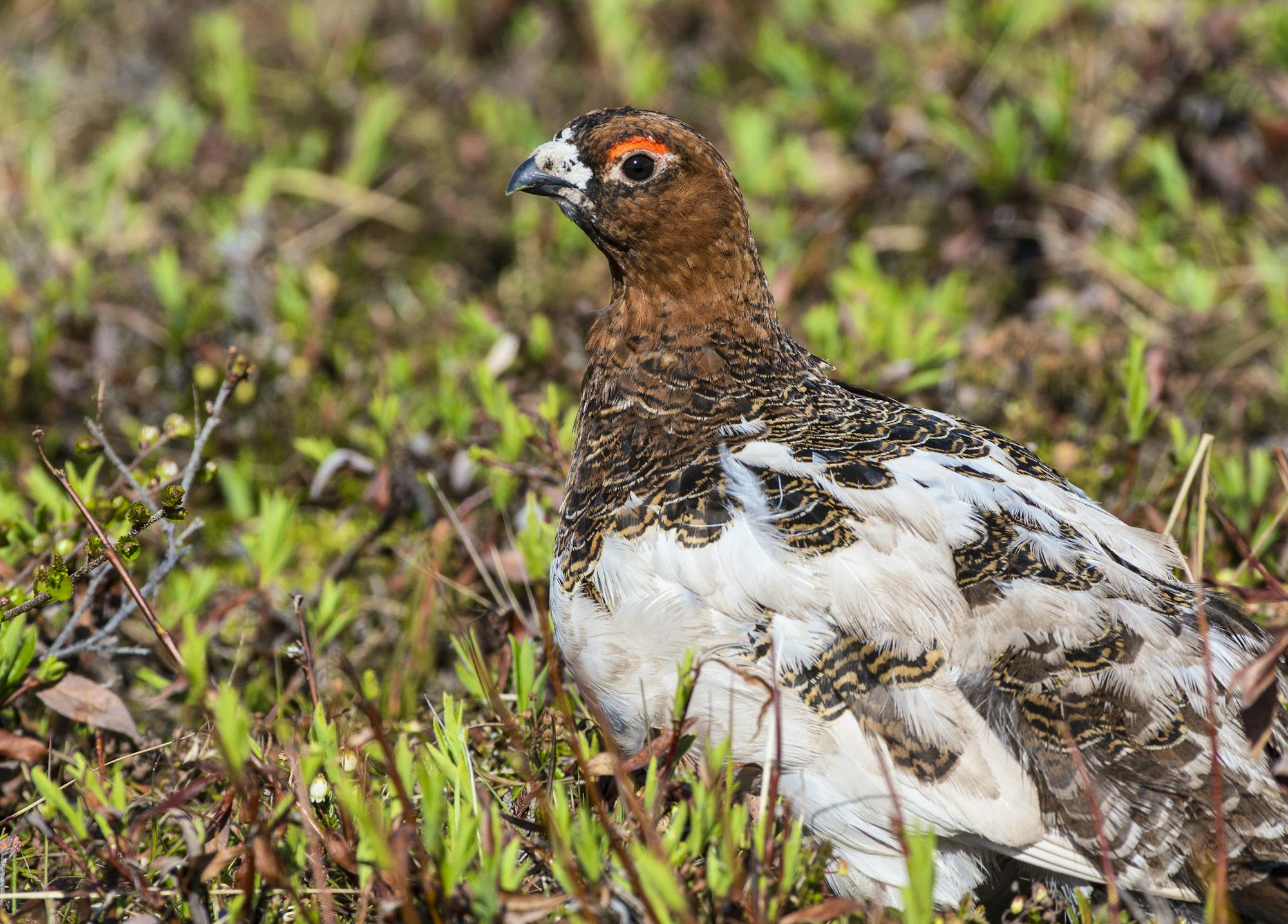
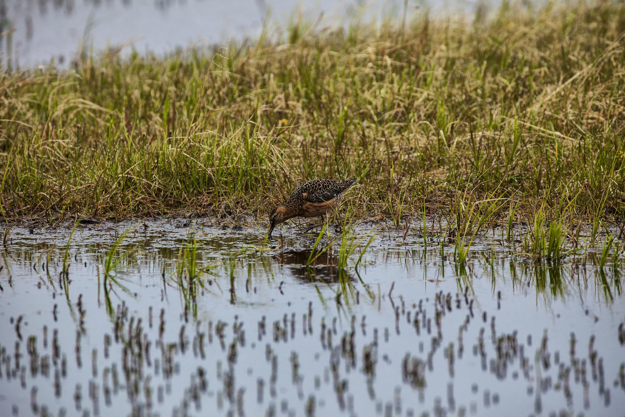
I’ve been fortunate to visit the western Arctic numerous times during my conservation career to witness its importance to wildlife and the surrounding communities. By far the most incredible birding experience I’ve ever had happened while participating in data collection and banding efforts at a bird research field station along the Ikpikpuk River. Birds were everywhere—a veritable crossroads from all continents—with flocks flying overhead, birds protecting their nests on the tundra, laying on eggs and calling into the evening. One afternoon in the banding tent I held and then released a dunlin banded along the river the year before and photographed that winter in Japan. I’ve also spent time at Teshekpuk Lake—where I walked through fields of cotton grass, spotting caribou, fox, molting geese and snowy owls eyeing the tundra—and at Nuiqsut and Utqiagvik (formerly Barrow), where community members live off the bounty of the area, fishing, berry-picking and hunting.


The western Arctic is a place full of life, and to imagine that it could be converted into an oil and gas industrial zone is difficult to fathom. But a revised plan allowing new development in the National Petroleum Reserve – Alaska (reserve) would do just that to this unparalleled wildlife habitat and wilderness landscape, threatening caribou, migratory birds, imperiled polar bears and much more.
While the reserve’s name conjures up a vision of an area filled with pipelines, roads and flaring well pads, this part of Alaska’s western Arctic covers 23 million acres of almost entirely wild land containing extraordinary wildlife habitat. Its many exceptional natural features include one of the largest wetlands complexes in the circumpolar Arctic, which contains the largest lake in Alaska’s Arctic – Teshekpuk Lake – and provides habitat for millions of migratory birds, caribou herds—including one of Alaska’s largest herds—brown bears, wolverines and critical habitat for threatened polar bears. It has coastal lagoons with whales, seals, walrus and sea ducks, along with countless fossils and historical and cultural icons. Inupiat peoples have lived and thrived in this rich, ecological region for many thousands of years, and they continue to do so in communities within or adjacent to the reserve.
In 1923, President Warren G. Harding established the reserve as an emergency oil supply for the U.S. Navy. Though some exploration occurred, no oil or gas developments ensued while the area was under Naval jurisdiction, leaving it largely a wild landscape. In 1976, the 23-million-acre reserve – similar in size to the state of Indiana—was transferred by Congress to the Bureau of Land Management (BLM) with a dual mandate to allow for a competitive leasing program and protection of special values (such as unique cultural, natural, fish, wildlife, scenic and historical values) and special areas. By 1977, and following congressional intent, BLM had established Teshekpuk Lake, Colville River and Utukok Uplands Special Areas, all of which were identified by Congress as having special values when the lands were transferred to BLM. The U.S. Fish and Wildlife Service and the Environmental Protection Agency recognized the Colville River – the largest Alaskan Arctic river - as an Aquatic Resource of National Importance (ARNI) and the Colville River Special Area was originally established in the late 1970s because of the river corridor’s bluffs that provide important peregrine falcon nesting habitat. Since then, BLM has recognized the Colville River’s important nesting habitat for other raptors as well, and two new special areas have been established in other parts of the reserve - Kasegaluk Lagoon (2004) and Peard Bay (2013).
BLM undertook several regional plans for the reserve in the decades following the transfer of the lands, but it wasn’t until 2013 that the Obama administration completed the first-ever management plan (Integrated Activity Plan, or IAP) for the entire reserve. This was no small feat due to the area’s size and diversity and the 2013 IAP balanced conservation of resources with oil and gas development, allowing leasing in approximately 11.3 million acres of the reserve, while restricting leasing in approximately 11 million acres. The IAP also enlarged the Teshekpuk Lake and Utukok Uplands special areas and established the Peard Bay Special Area.
In 2015 a bridge was constructed across a channel of the Colville River to allow oil company ConocoPhillips to put in the first oil development within the reserve’s boundaries. Since then, ConocoPhillips has developed a second oil find and has two more in the works. The sprawl of development from Prudhoe Bay, one of America’s largest oil fields that can be seen from space, is expanding westward.
In 2017, then-Secretary of the Interior Ryan Zinke initiated a revision of the 2013 IAP, and this year at the end of June, the BLM released a final Environmental Impact Statement (EIS). Any balance that existed in the 2013 plan seems to have been thrown to the wind as the agency’s preferred alternative proposes opening 18.7 million acres to oil and gas leasing and future development, which amounts to 82% of the reserve. The preferred alternative also reduces the size of Teshekpuk Lake and Utukok Uplands special areas and eliminates the Colville River Special Area entirely.
In the coming weeks, BLM’s preferred alternative will likely be codified as the new management direction for the reserve’s sensitive habitat important to wildlife and people. Additionally, a final decision for the Willow Master Development Plan, one of ConocoPhillips’ new developments, is expected by mid-September. Willow promises to bring the first central processing facility to the reserve, up to five drill pads with up to 50 wells on each pad, an extensive road system, an airstrip, pipelines, a gravel mine and a potential gravel island in Harrison Bay, a coastal bay just north and east of Teshekpuk Lake.
This project will destroy designated critical habitat for Southern Beaufort Sea polar bears, one of the most imperiled polar bear populations in the world, globally significant migratory bird habitat, including for the greatest density of nesting shorebirds in the circumpolar Arctic, and caribou calving, migration and insect relief habitat for the Teshekpuk caribou herd, a critical subsistence herd for Arctic slope communities. It also stands to impact Arctic communities, such as Nuiqsut, which would be closest to the development, with additional land and air traffic, and degrade subsistence resources and air and water quality, among other concerns. BLM charged ahead to hold hearings on the Willow proposal in April through a Zoom platform while communities focused on health and family issues because of the pandemic. I was able to attend one and testified on behalf of Defenders.
Defenders of Wildlife has engaged in the IAP and Willow Master Development planning processes and clarified to BLM the serious concerns we have for polar bears and other wildlife if these plans are finalized as proposed. We have been reviewing the Final Environmental Impact Statement (FEIS) for the revised IAP, and this week we joined other partners in litigating the final EIS. We will also review the final decision for the Willow Master Development Plan and will consider all our options, including litigation, to slow down, halt or overturn the Willow plan.
The revised IAP and the Willow Master Development plan would significantly impact polar bear critical habitat, exacerbate climate change impacts, degrade water and air quality, and harm other wildlife and people in Arctic communities and throughout the nation. We cannot sit idly by as this unmatched wildlife habitat is turned into an industrial complex. This is especially true when considering the additional plans to develop the Arctic National Wildlife Refuge coastal plain for oil and gas in Alaska’s eastern Arctic. If we don’t stop these plans, we could see virtually all of Alaska’s Arctic turned over to the oil industry.


Follow Defenders of Wildlife
facebook bluesky twitter instagram youtube tiktok threads linkedin